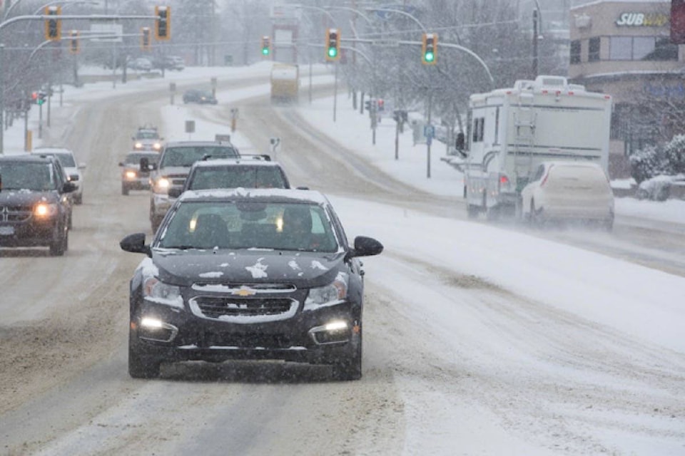
Environment Canada’s extreme cold warning continued Friday for central Alberta and will last for most areas until Monday.
The warning is in place for the City of Red Deer; areas of Red Deer County near Elnora, Lousana, Delburne, Penhold, Innisfail, Bowden, Pine Lake, Spruce View, Sylvan Lake, and Stephansson House; areas of Lacombe County near Clive, Alix, Mirror, Eckville, Lacombe, Blackfalds and Bentley; Ponoka County near Ponoka and Maskwacis; Stettler County near Donalda and Stettler.
On Friday, Red Deer will reach a high of -19 C with a wind chill of -25 in the morning. Periods of snow and local blowing snow will continue until about noon, followed by a 30 per cent chance of flurries throughout the day and evening.
Temperature will fall to -26 C in the afternoon with a wind chill of -36 C.
Tonight, the temperature is expected to reach -30 C with a wind chill of -35 C in the evening and -41 overnight.
Environment Canada issues extreme cold warnings when very cold temperatures, or wind chill, creates an elevated risk of frostbite and hypothermia.
People should watch for shortness of breath, chest pain, muscle pain and weakness, numbness and colour change in fingers and toes. People should cover up as frostbite can develop within minutes on exposed skin, especially with wind chill.
And if it’s too cold for people to stay outside, it’s too cold for pets to stay outside.