Central Albertans are used to wild spring weather fluctuations and April lived up — or is that down — to expectations.
If it seemed a little chilly to you — it was. Nowhere near record-breaking cold, but the monthly mean temperature, which averages the temperatures all month, was only 2.1 C, more than two degrees colder than the historical average of 4.3 C.
“Colder than normal is the story,” said Kyle Fougere, a meteorologist with Environment and Climate Change Canada. April went into the books as the 29th coldest April in 106 years of record keeping.
April seemed to get off to a good start. It was warmer than normal through much of the first part of the month, peaking on April 8 when it hit 22.6 C, the third warmest April 8 since 1916. The record was 25 C in 1986. It was 24.3 C in 1977.
“After that, there was a pretty extended cold snap, with the worst day being April 12, where there was an overnight low of -11 C. The daytime high was only -6.5 C.”
“Historically, those numbers didn’t rank that day in the top five. But it was cold for that time of year.”
The cold dragged on from April 9-24. The temperatures have been near-normal since then.
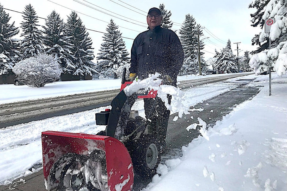
There also was not as much snow or rain as normal. April got 14.7 mm of precipitation compared to the historical average of 24.8 mm. That makes it the 34th driest April.
May started off with a warm spell. It hit 21.7 C on Wednesday, well above the 15 C average. The high on Thursday was expected to be about 18 C with showers possible.
It is then going to start cooling off with Friday’s high expected to be around 13 C with showers, 15 C on Saturday and 12 C on Sunday. Next week, it will remain cooler with Monday through Wednesday highs of 8 C, 12 C and 13 C. The overnight lows on Sunday and Monday could deep below 0 C with -1 C predicted.
Environment Canada recently issued its seasonal forecast. It is projecting warmer-than-normal temperatures in southeastern Alberta May through July.
“Red Deer is right where we transition to likely near-normal,” he said.
The same goes for precipitation. It is expected to be drier than normal in the southern parts of the province with Red Deer on the edge of that zone.
So, don’t be surprised if it’s higher and drier than normal in central Alberta.