Alberta is likely heading to a ho-hum, nothing too surprising, kind of fall, according to seasonal forecasts.
AccuWeather released its seasonal forecast on Wednesday and should projections hold up, fall in central Alberta will be pretty typical.
AccuWeather senior meteorologist Brett Anderson said in his forecast that La Niña will play a major role in the fall weather pattern as it has in recent falls and throughout this year.
La Niña is a climatological phenomenon that occurs when sea surface temperatures in the central and eastern tropical Pacific Ocean drop to lower-than-average levels, which in turn affects weather patterns thousands of kilometers away.
Among La Niña’s influences is the position of the jet stream, which determines the general track of stormy weather, said Anderson.
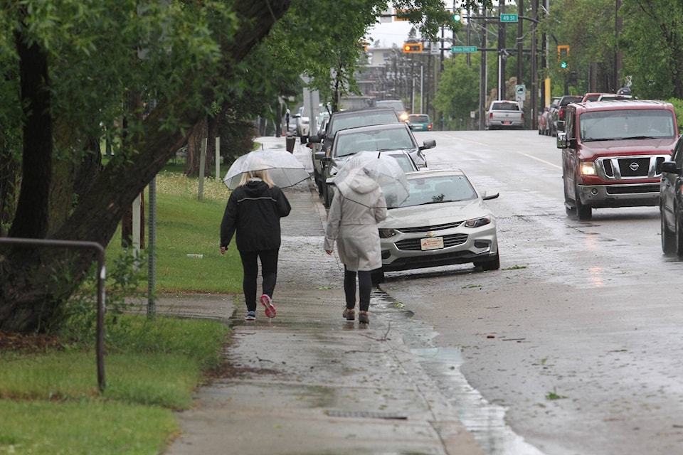
“An active, Pacific storm track is anticipated to be directed into British Columbia this fall, which will favor above-normal rainfall and cloudier, cool days,” Anderson said.
Last fall’s devastating floods in B.C. were influenced by La Niña conditions
However, in Alberta and other parts of the Prairies, a fairly typical fall is expected.
“We expect fairly normal amounts of rainfall with near-normal temperatures for Alberta,” Anderson said.
While precipitation and temperatures are forecast to be about average, Anderson does expect that the season could turn out fairly windy.
Precipitation amounts will also remain near normal for much of Saskatchewan and Manitoba.
Ontario and much of Quebec are expected to have a warmer and drier fall than usual. In southern Ontario, which has been experiencing drought conditions, the dried-out ground could lead to colder night-time temperatures.
“Despite the overall warm look to the season, nights can quickly turn cold due to the drier ground,” Anderson explained. Colder nights may also spell early season frosts or freezes,” said Anderson.
Sea-surface temperatures near the East Coast have already been high this summer, which increases the risk of severe tropical storms.
“With La Niña conditions expected to continue into the fall, no significant pattern change is forecast to alter these abnormally warm waters before autumn begins. This will leave Atlantic Canada vulnerable to impacts from a tropical system such as drenching rainfall and damaging winds.”
Environment Canada meteorologist Terri Lang said their detailed seasonal September to November forecast is not expected to come out until the end of next week.
However, she offered a few observations for Alberta based on what they have seen so far. At this point, it looks like there is roughly an equal chance of it being colder than normal or warmer than normal in Alberta. No precipitation has emerged indicating whether more or less moisture is expected.
Lang said it is important to remember that long-term forecasting, especially with precipitation, is an imprecise science.
“Essentially, it’s an educated guess,” she said. “Seasonal forecasting is a bit of an art form.”
For diehard weather watchers, there are some interesting twists this year. La Niña is expected to return, the third year in a row the weather pattern has had an impact. A moderate La Niña occurred in 2020, followed by a much stronger version the following year that led to some of the dramatic weather experienced in western Canada.
Normally, La Niña is followed by a neutral system the next year and then an El Niño system and then the pattern repeats.
“It kind of flips back and forth because, essentially, is a kind of sloshing of this ocean water across the Pacific. This La Niña is quite rare and hasn’t happened much in the past.”
A moderate La Niña is expected this year, although its effects are often most apparent in late winter and early spring rather than the fall.
In the meantime, we can look forward to some more nice weather as we edge closer to the end of summer.
“Certainly for the next few weeks, towards the end of August and into September, the warm pattern is still around,” she said, adding there is almost no chance of frost for the next 10 days at least.”