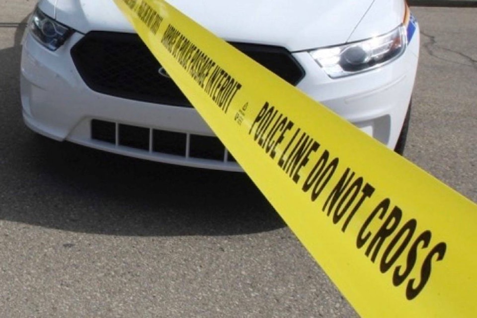
A Red Deer online crime map will debut in the next few weeks, highlighting where some of the more common crimes happen.
City council voted in March to get on board with the RCMP on a one-year pilot project to provide an online update of the local crime picture when it comes to mischief, stolen vehicles and thefts from vehicles and thefts under $5,000.
Paul Goranson, city director of protective services, said the goal is to draw attention to the kinds of crimes that residents can take steps to safeguard themselves against, such as locking homes and vehicles and not leaving keys inside vehicles.
“It’s to create that awareness that might not be there,” he said. “It’s really to focus on those pieces where people have the potential to make a difference themselves.”
More serious crimes, such as assaults or drug offences, are not typically the kinds of crimes of convenience where alert residents can have a big impact, and the RCMP does not include them in its maps.
The map will provide two weeks of data, updated daily on a rolling system so that the last two weeks are always shown. Street names, but not specific addresses, will be shown on the map.
More than a dozen Alberta communities already have crime maps, including Innisfail, Lacombe County and Sylvan Lake in central Alberta.
Not all are convinced the crime map will prove useful.
Central Alberta Realtors Association president Richard Pochylko is concerned that the map will not provide enough context and will scare people away from areas needlessly.
“When you start identifying issues like that, you do stigmatize neighbourhoods,” he said.
“Identifying areas will definitely make it more difficult to sell in those high-crime areas. The context of everything won’t be explained in a map.”
Pochylko believes there is plenty of crime prevention initiatives that could be pursued without drawing attention to one neighbourhood over another, based on a few crimes.
“I look at it from the perspective that that information doesn’t really do a lot of good, but it does do an awful lot of harm.”
Goranson said council weighed the pros and cons before making its decision. There are already perceptions that some neighbourhoods are more crime-prone than others. The maps may show that those areas are not particularly more vulnerable to the sorts of crimes tracked on the maps.
Council also considered that a citizen-run crime map for Red Deer has already appeared on Facebook. Adopting the RCMP crime map will ensure that the incidents logged are from a reliable source.
The Canadian Municipal Network on Crime Prevention did a report on crime mapping and recognized there is the risk of neighbourhoods being stigmatized, residents’ fears stoked and data being misused by the public.
Benefits include making citizens more aware of potential problem areas and promoting co-operation with police and more reporting of incidents.
The group urged police to work with local governments and community organizations to provide information that meets community needs and presents crime incidents in context.
pcowley@reddeeradvocate.com
Like us on Facebook and follow us on Twitter