A severe thunderstorm watch has been issed for the Red Deer area.
According to Environment Canada, the affected area stretches from Bashaw, Ponoka and Maskwacis, to Sylvan Lake, Markerville, Forestberg, Donalda, Pine Lake, Big Valley, and Spruce View, as well as the Counties of Lacombe, Stettler, Flagstaff and Paintearth.
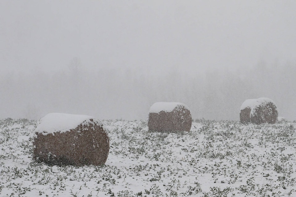
Thundershowers today will change to wet snow overnight into Wednesday over central and northern Alberta, says Environment Canada.
A cool storm system moving through Alberta on Tuesday will bring rain to a broad area over central and northern parts of the province, according to a special weather statement.
Beginning Tuesday evening, cold air from the Northwest Territories will move southward, causing rain to switch over to snow.
Periods of rain mixed with wet snow ending Wednesday morning in central Alberta, then cloud are expected to continue with 30 percent chance of rain showers. Wind northwest 20 km/h will gust to 40. Temperatures should reach a high of 6 C.
Accumulations are expected to be the greatest in northeast Alberta, where five to 10 centimetres is likely to fall by Wednesday evening.
Potential impacts include poor travel conditions Tuesday night into Wednesday morning, and the potential for broken tree branches due to the accumulations of heavy wet snow.