An extreme cold warning was issued for the Red Deer area early Monday morning.
The extreme cold warning was issued for Red Deer; parts of Red Deer County near Elnora, Lousana, Delburne, Penhold, Innisfail, Bowden, Pine Lake, Spruce View, Sylvan Lake and Stephansson House; parts of Lacombe County near Clive, Alix, Mirror, Eckville, Lacombe, Blackfalds and Bentley; parts of Stettler County near Donalda and Stettler; and parts of Ponoka County near Ponoka and Maskwacis.
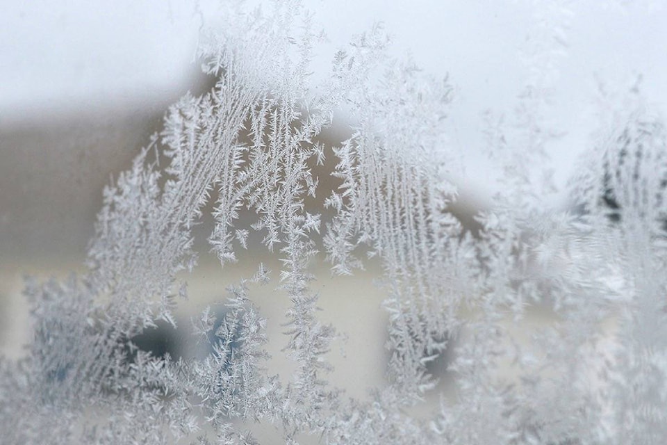
Environment Canada said an Arctic air mass with clear skies has developed that is producing extreme cold wind chills through most of Alberta, but conditions should improve in the afternoon as temperatures rise.
Overnight into Tuesday morning, some of regions will experience wind chill values near -40 C again. Relief from cold temperatures is expected by Wednesday afternoon.
Red Deer is expected to see a high of -19 C Monday, with a wind chill of -44 in the morning and -26 in the afternoon.
The low will drop to -32 C Monday night, with a wind chill of -29 in the evening and -42 overnight.
Extreme cold warnings are issued when very cold temperatures or wind chill creates an elevated risk to health such as frost bite and hypothermia.
Frostbite can develop within minutes on exposed skin, especially with wind chill.
If it’s too cold for people to stay outside, it’s too cold for pets too.