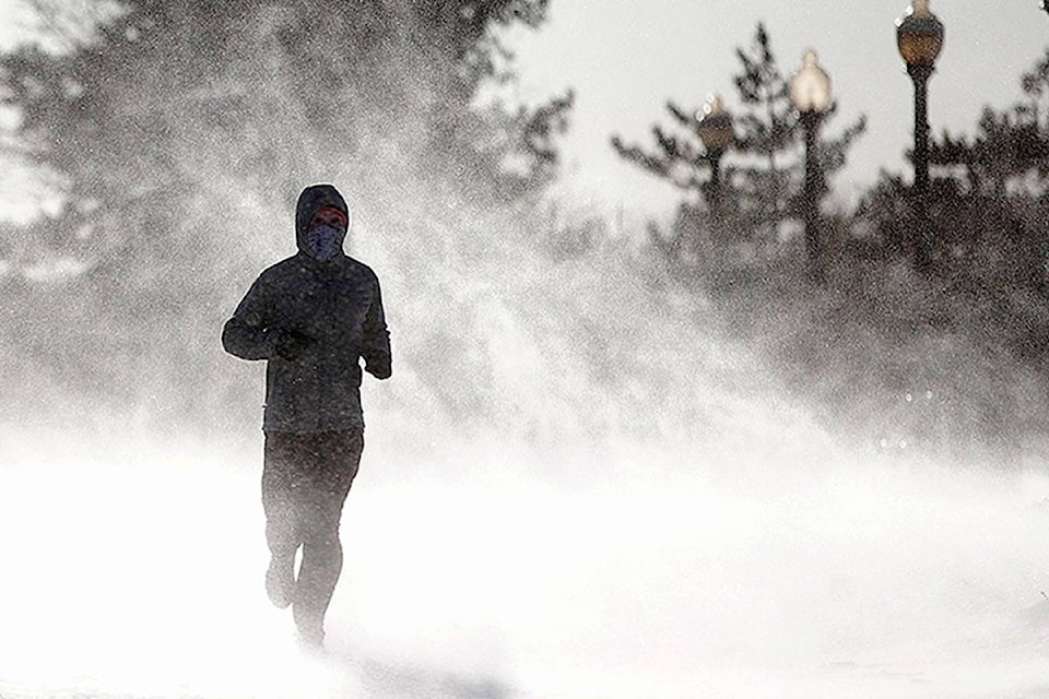
Dig out those block heater cords and settle in for a deep freeze.
After getting off easy in December and most of January, central Albertans are going to get a prolonged taste of Arctic weather.
Friday’s high is expected to creep up only to -17 C, and then it gets worse on the weekend and through next week.
Saturday’s high is forecast at -23 C with a battery-draining overnight low of -32 C. Sunday’s high is only -25, Monday’s -23 C and Tuesday’s -20 C. Expect overnight lows are in the low -30s C.
The average high at this time of year is -4 C and the low -16 C.
READ MORE
Wind warning issued for central Alberta
The Wednesday high is projected at -15 C, but don’t count on it, said Environment and Climate Change Canada meteorologist Kyle Fougere on Thursday.
These kinds of cold blasts tend to make themselves at home.
“Once the cold air gets here it tends to stick around for quite a while. We’re expecting it to stay well below normal for next week,” said Fougere.
“When this cold air gets entrenched in the province it’s really hard to get rid of it.”
“We’re showing a little bit of warming towards the end of our (seven-day) forecast. But we don’t have a lot of confidence in that right now.”
The first signs of what was to come were on Jan. 23 when temperatures sharply dropped after being above average for most of the month.
“We’ve been sitting in this cooler air since that time,” he said.
Low cloud cover provided an insulating effect for a few days but those will be moving on soon.
“This ridge of Arctic high pressure is going to sweep down on the province and that’s what is going to bring this clear, cold air from Arctic.
“It’s going to be the coldest air we’ve had this winter, for sure, for basically all of the province.”
For many central Albertans the cold snap will be seen as payback time for the relatively benign winter seen so far.
January’s average temperature was -8.8 C, well below the historical average of -13.3 C.
The cold weather that rolled in towards the end of the month dropped the average but it was still the 18th warmest January for Red Deer since 1914. December was also much warmer than typical.
pcowley@reddeeradvocate.com
Like us on Facebook and follow us on Twitter