Red Deer woke up to a record-breaking -43.2 C on Monday morning, which beat the -40.6 C record set the same day in 1939.
Add in the windchill, and it felt like at least -49 C in the early hours.
On Sunday morning, temperature dropped to -41.8 C, just missing the 1994 record of -42.2 C.
Kyle Fougere, meteorologist with Environment and Climate Change Canada, said biting temperatures will hang around during the first half of the week. It may come close to existing records, but it’s not likely that any more will be broken.
“It’s still in the realm of possibility. But there’s a little bit of cloud coming in from the northeast which might keep it from those extreme colds,” Fougere said.
He said the extreme cold was being caused by an arctic ridge of high pressure that moved down through the Northwest Territories and pushed into Alberta, and that ridge of high pressure has really clear skies.
“In the winter since it’s dark for so long, the earth radiates heat, it loses heat, so it’s basically just constantly cooling under these cool skies. That’s what allows these temperatures to get so cold by the morning.”
Related:
A cold February expected for Red Deer
Lengthy cold snap on its way for central Alberta, says Environment Canada
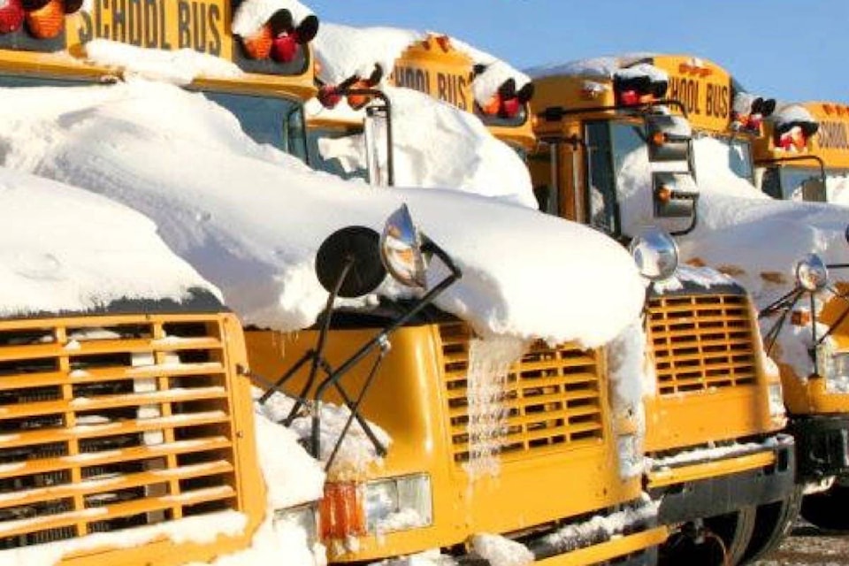
Two rural central Alberta school divisions cancelled buses and classes on Monday due to the extreme cold warning.
Chinook’s Edge School Division and Wolf Creek Public Schools both closed their schools.
Red Deer Catholic Regional Schools cancelled all bus service, but its schools were open.
School buses for Clearview Public Schools also did not run, but schools were open.
Fougere said it is typical to have a winter arctic outbreak, or two. But this year it came after a very warm start to 2021. Temperatures in first three weeks of January were above normal most of the time.
The temperature is forecast to reach a high of -19 C on Friday, and next week it’s not expected to be so extreme.
“Next week is still expected to be well below normal. Our normal for this time of year is to have a day time high of around -3 C, and an overnight low of around -15 C. We’re likely to stay quite a bit cooler than that, but it shouldn’t be these bitterly cold temperatures.”
Environment Canada said the prolonged cold snap is expected to persist into the weekend for many areas of Alberta and people should watch out for cold-related symptoms like shortness of breath, chest pain, muscle pain and weakness, numbness and colour change in fingers and toes.
Extreme cold warnings are issued when very cold temperatures, or wind chill, creates an elevated risk to health such as frost bite and hypothermia.
If it’s too cold for people to stay outside, it’s too cold for pets to stay outside, said Environment Canada.
szielinski@reddeeradvocate.com
Like us on Facebook and follow us on Twitter