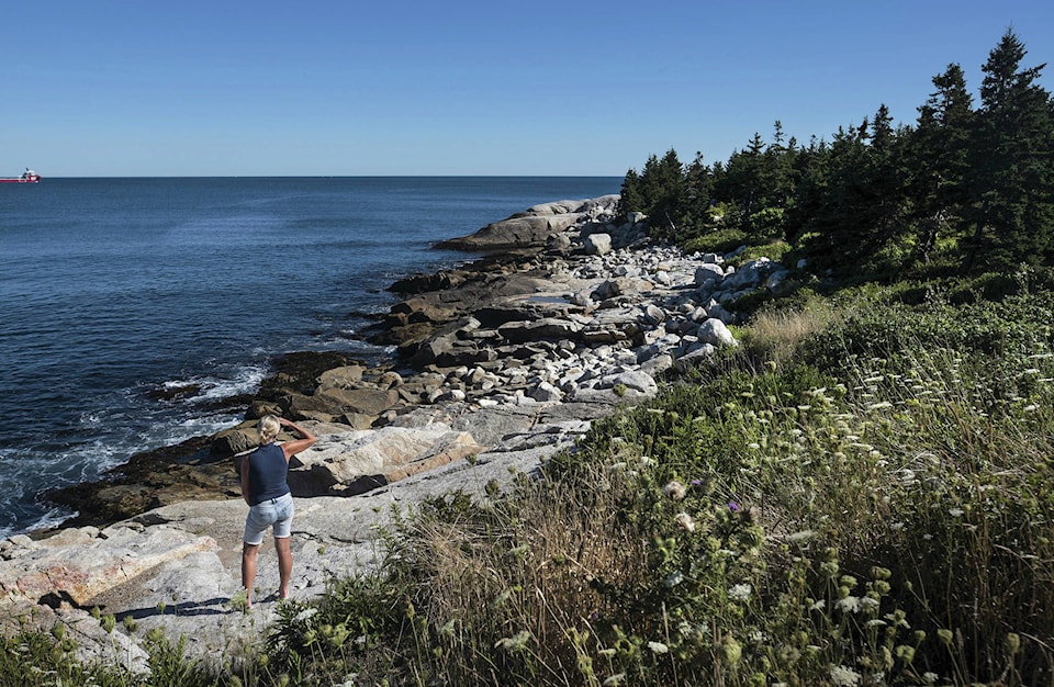
HALIFAX — A federal government geoscientist has developed fresh maps of coastlines showing where flooding and erosion caused by climate change are likely to inflict maximum damage this century.
The mapping by Gavin Manson, a coastal geoscientist at the Bedford Institute of Oceanography, has taken into account factors like the disappearance of sea ice, rising waves and the makeup of the shoreline.
His Halifax office has combined six key factors to create visual ratings of ”coastal sensitivity” on the three oceans.
Manson said in an interview Wednesday that when you start to consider how wave height rises due to a lack of sea ice or the slope of the shore, it can make a major difference in erosion and flooding.
“It includes a whole lot more information on factors that affect the physical sensitivity of Canada’s coasts,” he said during an interview from his Halifax office.
The expectation of rising sea levels has already been documented in the Changing Climate Report Ottawa released in April for large portions of Atlantic Canada, the Beaufort Sea, the Fraser River lowlands and northern British Columbia.
In parts of Atlantic Canada where coastal land is sinking as seas rise, the ocean is predicted to be an average of between 75 centimetres to one metre higher by the end of the century — increasing flood risk during storms.
However, Manson points out that quantifying coastal sensitivity takes the analysis further.
The nature of the shoreline — whether it’s beach, gravel or a hard rocky shore — is part of the mix of six variables the geological mapmakers have scored.
Another factor now included in the maps is how the melting of ice in the ground beneath permafrost leaves coasts susceptible to more erosion.
As the ground sinks, the oceans gain in energy, tearing away at the shore. “In the 2090s, there’s much less in the way of sea ice, and there’s more waves,” said Manson.
The researcher says the areas of highest sensitivity are on the northern coasts facing the Beaufort Sea, where bright red colours on the maps signal the elevated risk.
“Things are getting much worse in that area …. It’s one of the areas with the highest increase in sensitivity, and it extends further east into the Arctic archipelago than we would have expected.”
Factors such as melting ground ice and loose materials along the shore are key factors along the coast facing the Arctic Ocean, he adds.
Parts of Hudson Bay are also in the red zone, as are portions of southeastern Cape Breton and tiny Sable Island, hundreds of kilometres off Nova Scotia’s coast.
In the case of Cape Breton, the factors that raise sensitivity include the likelihood of reduced ice on the inland Bras d’Or lakes, which would result in more tidal action against the shorelines.
The mapping data is publicly available for downloading and study on a service called Geoscan.
The Canadian Press