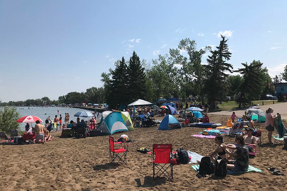
Last week’s heat wave was one for the record books.
There were at least 212 daily temperature records set across the province — including at least one in Red Deer — from June 25 to July 2, said Environment Canada and Climate Change meteorologist Kyle Fougere.
The high of 34.8 C recorded in Red Deer on June 30 beat the previous record of 30.6 C set in 1944. By a quirk of weather statistics, the previous record was lower than typical for this time of year. The record highs in the days before and after June 30 were in the range of 37 C.
It is possible other Red Deer records were close to being beaten. However, there were some technical issues with Red Deer’s station Monday and meteorologists are still doing some number crunching.
It was the second warmest June on record in Red Deer with an average temperature of 16.5 C, well above the normal average of 13.5 C. The warmest June on record happened in 1961 when the average monthly temperature was 18.1 C.
READ MORE:
Heat wave continues all week in central Alberta
The extended heat wave rewrote the record books in communities all over the province. Eighteen weather stations reported their highest ever daily highs.
“Some of our stations have data that go back to the 1880s,” said Fougere. “So, in a lot of cases you’re setting records that have stood for a long time (within) a long period of records.”
The Henderson Creek station, which is near Hinton, and the Jasper station broke their own maximum daily highs four times during the heat wave.
And on June 29, Grande Prairie posted the highest temperature during the last heat wave when the temperature hit 41.5 C.
READ MORE:
Market for air conditioners red hot
The cause of the lengthy blast of heat was an unusually strong ridge of high pressure over Western Canada.
“You basically had low-pressure systems on either side which created what we call a blocking pattern. That blocking pattern is what made it sit over the western parts of Canada for a week on end and the temperatures just really built.
“It was both the magnitude of the ridge and this blocking pattern that led to this extreme heat.”
Precipitation was also lower than normal in June, with 66.5 mm of rain recorded, about two-thirds of the 94 mm that is typical for the month. May was also drier than normal, with 45 mm of rain recorded, compared with the 55 mm typical for the month.
Drier-than-normal months have become routine. June was the 12th consecutive month in Red Deer where precipitation was below normal. It was the driest winter in 99 years and the 10th driest spring.
The temperatures are expected to cool off for the next day or so, with a 30 per cent chance of showers on Tuesday and Wednesday. The temperature will climb above normal beginning Wednesday when it is expected to hit 25 C, followed by 26 C, 27 C and 26 C through Saturday.