A heavier-than-usual snowpack is well into its spring melt, but whether that turns into flooding will depend on rainfall.
“The really big high flows are driven by the rain events,” said Nathalie Brunet, a river forecast engineer with Alberta Environment and Parks.
“Regardless of what the snowpack is, if there is a huge rainstorm (in the mountains), that’s when you get those higher flows,” said Brunet on Tuesday.
“If there’s some snow left, and you get rain on top of that snow, that also leads to higher flows. The snowpack alone doesn’t have enough (volume) to cause those big flows.”
Heavy rainfalls in the mountains were to blame for both the catastrophic flooding that hit Calgary and other communities in 2013, as well as the Father’s Day flood in 2005 in Red Deer, which also led to flooding at the Lions Campground and at McKenzie Trails recreation area.
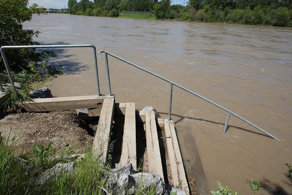
While the snowpack is well above average in some areas of the Red Deer River Basin, so far, the snow has been melting slowly, and apart from some minor flooding, there has been little cause for concern.
River forecast engineers such as Brunet carefully monitor the mountains to be ready to respond, should the weather turn, with warnings, or by taking measures to slow the flow using the Glennifer Reservoir, near Dickson, for example.
A flood watch on the Little Red Deer River was in place for a few days, but ended last Saturday and river levels have been falling since.
A high streamflow advisory remains in effect for the North Saskatchewan River downstream of Highway 759, as well as tributaries of the North Saskatchewan River between Rocky Mountain House and Edmonton and the Clearwater River.
The melting is a little behind schedule, just because of the amount of snow piled up in the mountains. Alberta Environment and Parks has a wealth of information, including many graphs and interactive maps, on its website at rivers.alberta.ca.
Brunet said the outer range for rain forecasts is about 10 days. At this point, there are no forecasts for heavy rainfalls in the mountains.
“In the 10-day forecast, you can start to see systems setting up and working their way into the province. But it makes such a big difference if it’s going to rain in the Bow River Basin or whether it’s going to rain in the Red Deer Basin.”
Those kinds of detailed projections usually can’t be made until two to five days in advance.
pcowley@reddeeradvocate.com
Like us on Facebook and follow us on Twitter