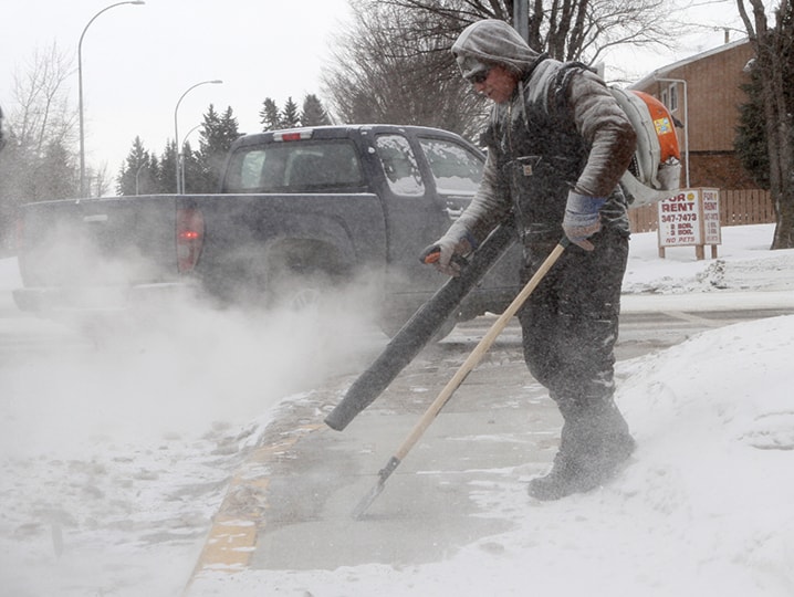
Good riddance February.
The past month was the coldest February in 20 years, with an average mean temperature of -17.3 C.
That’s a whopping 7.3C degrees colder on average than the 30-year mean of -10C, based on the average between 1971 and 2001.
“That is a huge departure from normal,” said Environment Canada meteorologist Bill McMurtry. “When you see three or four degrees departure from normal, that’s significant. But when you see over seven — that’s a big number.”
The last time Red Deerians had to bundle up for a colder February was in 1994, when the mean temperature was -18C.
But that’s nothing compared to the coldest February on record books that go back to 1904. In 1936, the mean for the month was a “brutally cold” -27.5C, said McMurtry.
According to Environment Canada’s public website, a new record low was set on Feb. 24 when the temperature sank to -33.6C. The online records date only to 1938, and it’s likely a colder day could be found going back to 1904, but McMurtry didn’t have access to that data on Monday.
The reason for the extended cold snap can largely be attributed to an upper cold low that has been sitting over Hudson’s Bay for some time.
“That’s what everyone has been calling the polar vortex. It’s just a fancy word for upper low,” he said.
“Any time we had a bit of a northerly or northeast wind, it would push that cold air right across the Prairies and we’d see well below normal temperatures.
“That’s pretty much been the pattern for a significant portion of February.”
The further east you go in the Prairies, the colder it’s been, he said.
In the United States, the expression ‘polar vortex’ caught on as a description for the spells of intense cold experienced through many upper and midwest states, and even down into the south.
While it’s a routine weather phenomena, it got more attention this year in the U.S. because the region got more blasts of colder air than usual, he said. The vortex specifically refers to the core where the coldest temperatures are.
“They jumped on it this year, thinking it’s something new. But it’s one of the oldest known meteorological phenomena that’s out there.
“It’s just been getting a lot of play because it has been colder than normal across a significant portion of central and northeastern United States.”
Now for some good news locally. The temperature is expected to start rising by the weekend.
Environment Canada is forecasting highs of 8C on both weekend days. However, McMurtry says keep your hopes in check.
“The numbers might be overdoing it a little bit. Typically, what happens when we get this cold air coming in it takes a while to scour out.
“Even though we’re looking at warming, probably a better number for the weekend might be highs of 0C on Saturday and 2C on Sunday.”
In the meantime, we’re dealing with a continuation of below-normal temperatures. Today’s projected high is only -13C and it should dip to -16C on Wednesday before returning to -13C on Thursday. Normally at this time of year, the high is around 0C and the low is -11C.
Overall, it’s been an up and down winter.
December was colder than normal with a mean temperature of -8.9C, compared with the average -5.4C.
However, January was considerably milder than usual with a mean of -7.6C, compared with the -13.2C average.
And never mind the brutally cold first few days of March.
pcowley@www.reddeeradvocate.com