The Red Deer area is in the thick of thunderstorm season.
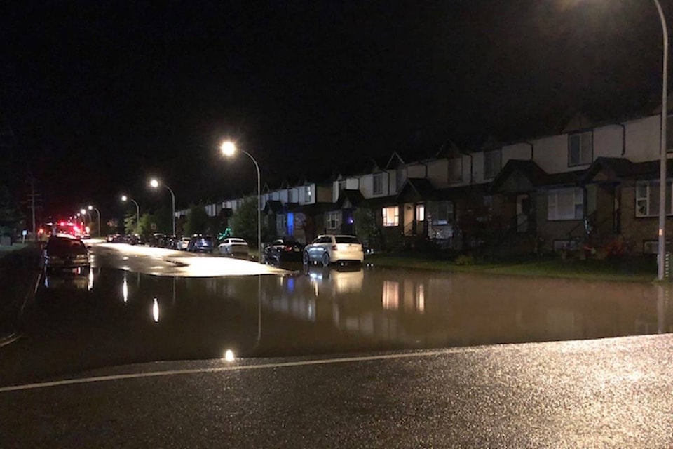
A nocturnal thunderstorm blew through the area early Thursday morning. It hit Sylvan Lake, then moved north of Red Deer before travelling northeast. About five to 15 millimetres of rain fell, with pockets of up to 40 millimetres.
“It’s pretty wet to the west of Red Deer,” said Alysa Pederson, meteorologist with Environment and Climate Change Canada.
“It developed overnight to the west of the Red Deer area and moved through right around when people are just waking up. It might have been a rude awakening for some people.”
Jerrod Dubeau, a storm chaser for automotive hail repair company PDR Solutions, said Sylvan Lake was walloped by the storm early Thursday morning.
He said alerts started around 3 a.m. and baseball-sized hail, or a tornado, were possible, judging by the radar.
“The winds and rain were so bad, it was just howling outside. The rain was coming sideways at that point,” Dubeau said.
“When the core is letting go, visibility is pretty much zero.”
Dubeau said luckily, he only found debris from the wind after the storm died down.
Related:
Climate change behind increases in extreme rain danger: scientists
Rain taking toll on farmers’ crops
Pederson said a lot of thunderstorm activity was expected most of Thursday. The risk of a thunderstorm will continue Friday, with a 60 per cent chance of showers in the late afternoon.
She said thunderstorm season runs from the end of May to mid-August, and right now, is the peak of the season.
“It’s that time of the year, severe thunderstorm season, especially for the Red Deer area.”
szielinski@reddeeradvocate.com
Like us on Facebook and follow us on Twitter