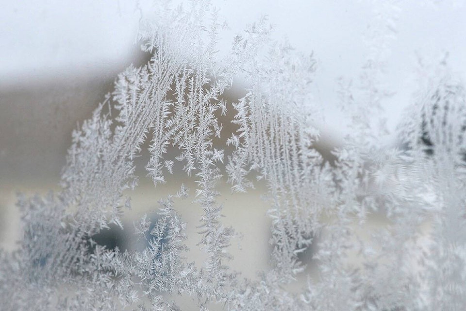
The March snowfall that caused some traffic tie-ups in Red Deer will have little impact on the region’s drought.
Snowflakes fell over several days last month, but they only added up to 9.4 mm — or about half of the 19 mm that’s the historical average for March.
“It wasn’t significant enough to address the long-term moisture deficit,” said Environment Canada meteorologist Brian Proctor, who anticipates this will be potentially problematic for agriculture and for forestry.
March and April are supposed to be Red Deer’s wettest months, but March 2024 was actually the 24th driest on record in 108 years of climate record-keeping.
Only Alberta’s foothills and southern regions received a decent March snowfall, so “dryness continues its hold on Alberta’s central corridor and further north,” said Proctor.
With the parched air hanging over Red Deer is preventing moisture-laden clouds to develop, central Alberta is already rated at severe risk of forest fires by the Canadian Wildland Fire Information System.
According to the provincial government, 86 wildfires have been reported in the Fire Protection Area of Alberta since the start of 2024, resulting in a total burn of 458 hectares.
Proctor feels the one bright spot in this troubling situation is that the Earth’s cyclical warming and drying El Nino system is waning and on its way out.
This may already be felt with Red Deer’s cooler-than-usual spring temperatures. Last month’s low and highs averaged out to -6.9 Celsius — a good three degrees below the usual mean temperature of -3.7 C for March.
Historically, Red Deer’s average temperature for the month of April is a high of 11 C and a low of -2 C, as well as three days of rain or snowfall.
The forecasted highs over the next week range widely, from 2 C to 14 C.
Proctor expects spring and summer weather in central Alberta to be closer to what’s normal for this area — which means it should be not as hot as in the past few years.
And by this fall, the La Nina system of cooler surface ocean temperatures is expected to start influencing wetter, colder climate.
In the meantime, the severity of this summer’s wildfires could depend on how much precipitation we get in April. This means Central Albertans should be welcoming wetness — even if it comes in the form of spring snowfall.