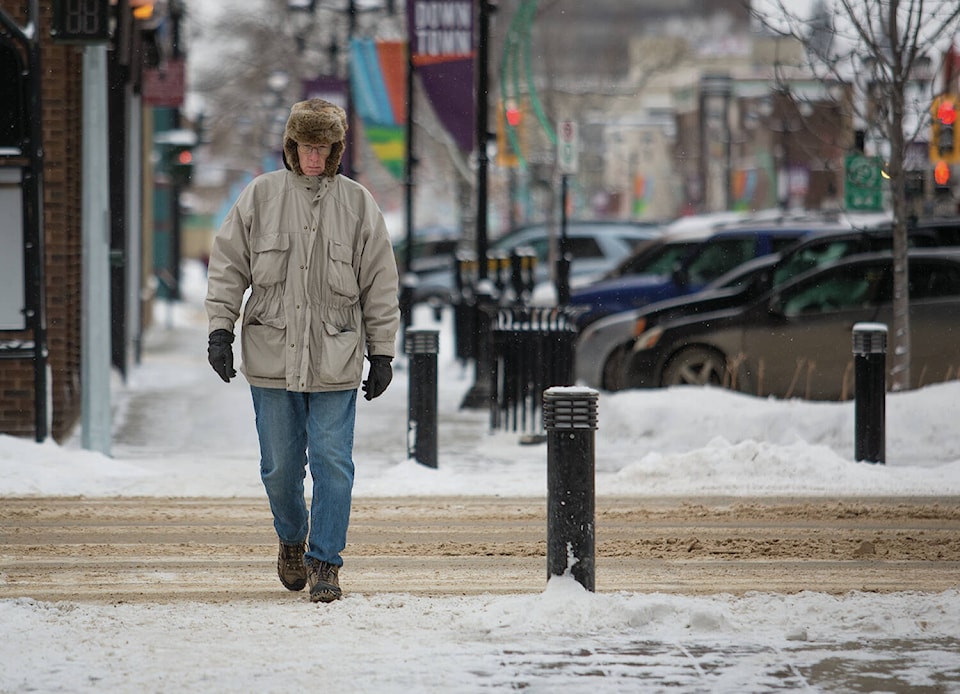
Central Alberta communities were among 33 across the province that saw new temperature records set early Wednesday morning.
The Red Deer area sunk to a low of -29.3 C, beating the old record of -26.1 C set in 1945.
Kyle Fougere, meteorologist for Environment and Climate Change Canada, said Red Deer also had its second coldest day on record for Nov. 10 when it fell to -26.7 C Friday morning. The record for the day remains -35 C set in 1940.
“Typically in November we’ll see three days of -20 C for Red Deer. This is our third day in a row already. It’s a bit early for this arctic air to be settling over the province,” Fougere said on Friday.
He said cold air outbreaks of this magnitude usually don’t happen until early December. The typical daytime high at this time of year is about 2 C and a low of -9 C, which will return early next week.
Related:
Severe summer weather cost $300 million in damages
Other records set Wednesday morning in central Alberta include the Sundre area, which saw the temperature drop to -32 C to trounce the old record of -22.1 C set in 2017.
The Rocky Mountain House area dipped to -30.2 C to beat -25.5 C set in 1986.
The Lacombe area set a new record of -29.3 C which beat -27.8 C set in 1945.
The Stettler area dropped to -28.1 C to beat the old record of -27.8 C set in 1945.
Fougere said temperatures plunged in recent days after cold arctic air was drawn down into Alberta when a low-pressure system moved east, a system that contributed to significant snowfall earlier in the week. It’s very common to see a cold system arrive following a snow event.
Related:
Recent weather tough on central Alberta farmers
The extreme cold warning issued Tuesday for Red Deer and central Alberta ended Friday morning. The warning is issued when the air temperature or windchill reaches -40 C for two hours or more.
Friday’s forecast for Red Deer called for a continuing risk of frostbite with a windchill of -32 C in the morning and -18 C in the afternoon. The daytime high is expected to reach -12 C, with an overnight low of -18 C.
Saturday’s high will climb to -3 C with a low of -20 at night.