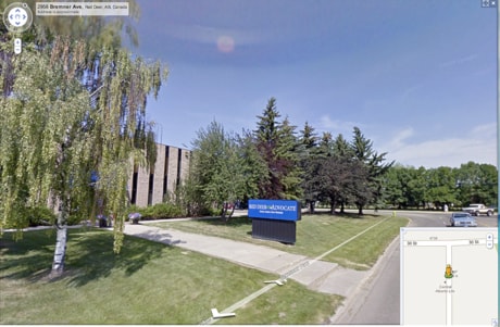
Google has added Red Deer to a long list of Canadian communities now visible on Street View Google Maps.
Tuesday's launch contains all remaining Street View imagery captured in Canada in 2009 — including the Trans-Canada Highway.
Google updates Street View imagery globally on an ongoing basis and works to add imagery of new places, such as UNESCO World Heritage Sites.
Street View is a free feature in Google Maps, Google Earth, and Google Maps for mobile. First launched in 2007, it now includes imagery from 18 countries in North America, Europe, Asia, and Latin America.
Also added this week were Vancouver and Whistler, parts of Whistler Mountain, Whistler Village, the Vancouver Athletes’ Village and Vancouver’s Stanley Park. This imagery includes the first special collection of Street View imagery in Canada.
The 360-degree, slope-level imagery of Whistler Mountain is the first collected by the newest experimental Street View system, a snowmobile equipped with state-of-the-art photographic and GPS technology. Winter Games fans, skiers and snowboarders around the world can now pan across several Whistler runs as if they were there, and wind through Whistler Village and Whistler Creekside at the bases of Whistler-Blackcomb mountains. Google collected this imagery in partnership with Whistler Resort Municipality and Whistler Blackcomb Mountains.
“We are hugely excited to make so much of Canada visible to the world—from the coasts of Newfoundland to the slopes of Whistler Mountain,” said Jonathan Lister, Managing Director and Head of Google Canada, in a prepared statement. “Street View in Google Maps is about showing people places they might never otherwise experience, and helping them plan journeys, so we hope it will continue to help boost tourism, heritage, real estate, education, and everyday discovery.”
Google says it has gone to great lengths to ensure Canadians’ privacy while enabling them to benefit from Street View maps. The feature only contains imagery that is already visible from public roads and blurs identifiable faces and licence plates.
In addition, users can flag for removal images they consider sensitive or inappropriate by clicking on the ‘Report a problem’ link at the bottom of any image. Google has consulted with Canada’s federal and provincial Privacy Commissioners in developing Street View and its privacy safeguards.
More details are on the Google Lat-Long Blog (google-latlong.blogspot.com) and additional press resources, including high-resolution images and videos, are available at sites.pressatgoogle.com/streetviewcanada.
Street View in numbers:
• More than 150 Canadian cities, towns and parks now explorable in Street View (see below for new locations)
• 18 Countries where Street View is available: Australia, Canada, the Czech Republic, Denmark, France, Italy, Japan, Mexico, the Netherlands, New Zealand, Portugal, Singapore, Spain, Sweden, Switzerland, Taiwan, the UK, and the U.S.