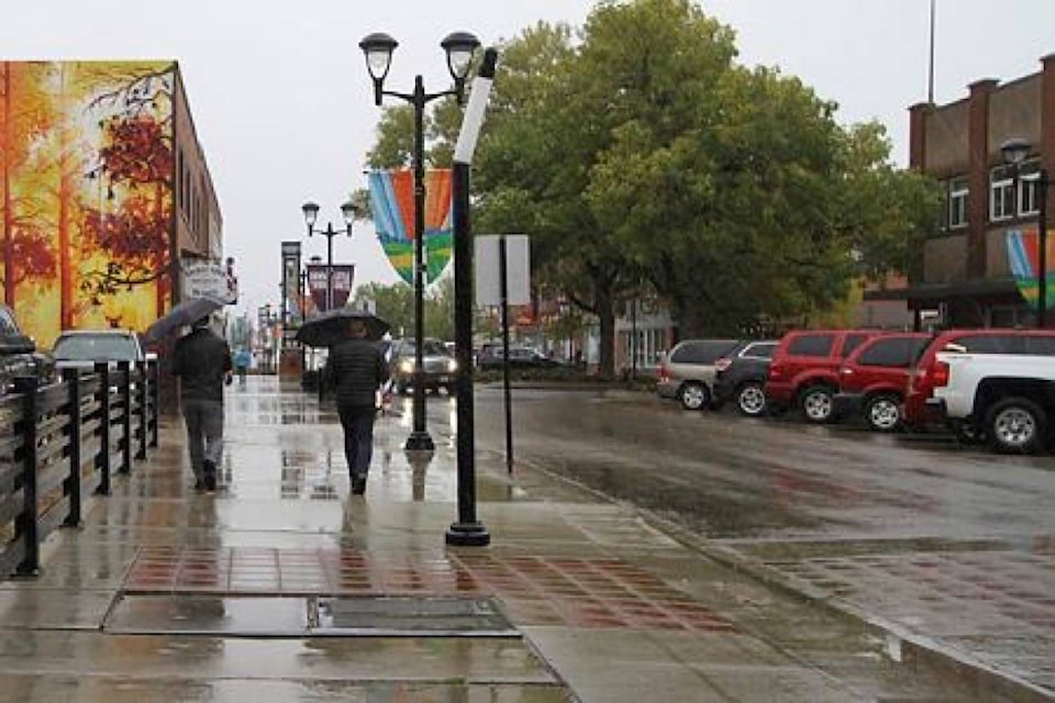
Red Deer had its first glimpse of the white stuff this season when slushy snow topped roofs and vehicles Thursday morning.
Dan Kulak, meteorologist with Environment Canada in Edmonton, said one cm of snow was recorded at Red Deer Airport at 9 a.m. but precipitation quickly turned into a mixture of rain and snow so it won’t be clear how much snow fell throughout the day.
“When it’s melting on contact with the ground there’s really no way to say how much fell because it disappears,” Kulak said.
Red Deer was just one of the communities to see snow in the current weather system, the first system to bring snow to Alberta this month. Whitecourt, northwest of Edmonton, saw snow Wednesday.
The average snowfall in September for Red Deer is three cm, based on airport observation and 30 years of data.
“You actually have an average of 0.4 cm for the month of August so snow in September for Red Deer is not unusual.”
He said snow doesn’t fall every August or September, but it can happen.
October averages 9.9 cm of snow, along with 13 mm of rain. But the snow generally melts because of warmer temperatures, he said.
“October is not that far away and once you start getting these storms in October they tend to be colder and they tend to stick around longer and there have been times in the middle of October that we’ve actually got our winter snow cover. Not saying it’s happening this year. But it’s one of those things that does happen once in awhile.”
By November an average of 16.6 cm of snow falls on the city.
Kulak said as of Sept. 19 Red Deer had 38 mm of rain and the average is 47 mm so it could turn out to be an average month for precipitation.
Temperatures are expected to bounce back to about 20 C by the middle of next week.
