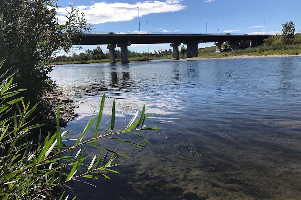
The City of Red Deer is asking residents to stay off the Red Deer River as a high streamflow advisory is in effect.
Streamflow advisories are issued by Alberta Environment when stream levels are rising or expected to rise rapidly, the city said in a release Monday.
A rainfall warning is in effect for the City of Red Deer, with the current forecast calling for up to 80 millimetres of rain for the City by Wednesday morning. Additionally, 100 to 150 millimetres of rainfall is in the forecast for the upper Red Deer and Little Red Deer basins.
The city is working with Alberta Environment to determine potential impacts of this weather system on local waterways. A flood watch is not in effect at this time.
The Government of Alberta provided an update on potential flood conditions in Central and Southern Alberta Monday afternoon.
“In early moments like this, one of the biggest roles of the department of environment in the Government of Alberta is around forecasting and alerting municipalities to what may be coming,” Minister of Environment and Parks Jason Nixon said during the update.
“We stand on guard obviously to be able to support municipalities, who are the lead in emergencies, with whatever may come. Hopefully we don’t end up in a situation where there’s going to be a lot of resources needed because that means nothing has taken place. That said, we’re ready to help municipalities if needed.”
Lisa Jackson, executive director of Alberta Environment and Parks’ environmental emergency management branch, said a close eye is being kept on the Red Deer River, even though it’s not “as vulnerable” as other locations.
“The situation could change very quickly, so we are watching that to make sure that we’re keeping up to date with the information as it starts to play out,” said Jackson.
Jackson said there are “a number of experts” crunching available data to understand what communities are most at risk.
“We’re watching a significant rain event come in. We’ve seen it on radar already and it’s starting to move into the Eastern Slopes. As it pushes up into the Eastern Slopes and we move upwards on the mountains, we tend to see the rain intensify,” she said.
Send your news tips
Like us on Facebook and Follow us on Twitter