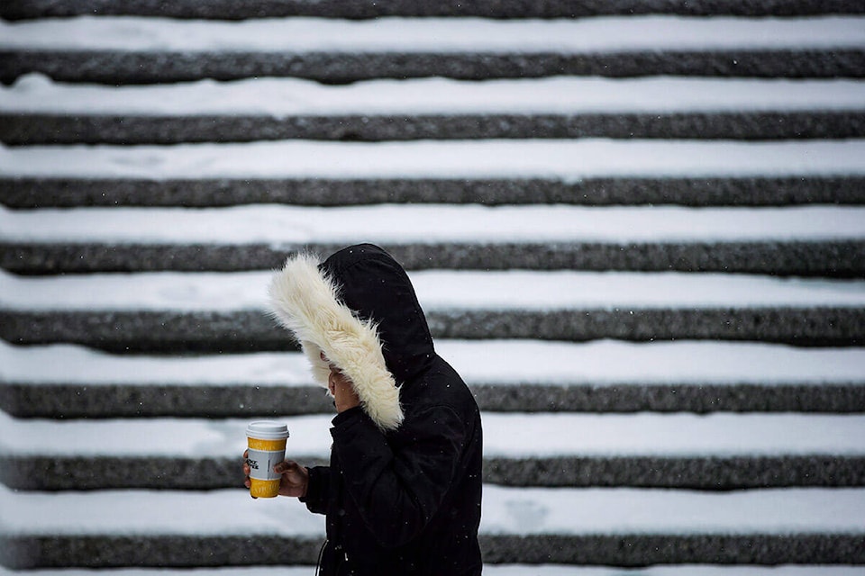
VANCOUVER — About 15 centimetres of snow blanketed Metro Vancouver overnight and almost double that amount was recorded at Victoria International airport as the latest storm slammed British Columbia’s south coast.
Airports in Vancouver and Victoria were reporting early delays and telling travellers to check with their airlines and all transit services were suspended in Greater Victoria.
BC Ferries also scrubbed its first departures of the day from Swartz Bay and Duke Point, plus return sailings from Tsawwassen, when snow kept crews from reaching the terminals on time.
Full closures were ordered in school districts from West Vancouver to Chilliwack, affecting children of essential workers who have been attending classes this week, while in-person instruction was cancelled at most post-secondary institutions across the Lower Mainland.
Environment Canada is maintaining winter storm, snowfall and extreme cold warnings for much of the province and says snow could switch to prolonged bouts of freezing rain over the Fraser Valley and Vancouver Island.
The weather office also expects as much as 50 millimetres of rain over the inner south coast through Friday before snow has a chance to melt, saying that could create pooling water and slippery conditions on many routes.
Elsewhere, extreme cold warnings still cover much of northern and southeastern B.C., with wind chill making conditions feel as cold as -50 C in northeastern parts of the province. Although forecasters say temperatures there should climb by Monday.
This report by The Canadian Press was first published Jan. 6, 2022.