Don’t put away that snow shove just yet Red Deer.
Brian Proctor, warning preparedness meteorologist with Environment and Climate Change Canada, said more snow is forecast for Thursday night and into Friday.
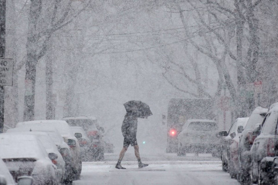
“We’ve had a lot of snow and it’s continuing. Unfortunately it’s an ever present part of our climate to get these events,” said Proctor on Monday.
Tuesday may be the first day of spring, but heaviest snowfalls tend to happen in April and May. It has to do with warmer air masses at this time of year which hold more moisture, he said.
“It’s these snows that are typically very close to the zero or above zero that produce the heaviest snowfalls.”
Day time highs this week will hover around zero and night time lows will be about -5 to -10C. Fog will also persist for much of the week.
“We haven’t had a lot of atmospheric pressure differences which is the driver for the wind pattern.”
So far in March Red Deer has had 21.4 cm of snow, including six cm that fell on Sunday. February had 28 cm and January and December each had 31 cm.
He said the good news is that spring forecasts do not show extremes in temperature or for precipitation.
“It’s setting up to be what appears to be at this point in time a fairly a normal March, April, May in terms of temperature and precipitation.
“I think everyone is done and tired of winter.”
Normal precipitation, including snow and rain, for April in Red Deer is the equivalent of about 24.8 mm of water. Last year there was 29.6 mm. April 2007 had the most with 75.8 mm for the period between 1981 and 2010.
szielinski@reddeeradvocate.com
Like us on Facebook and follow us on Twitter