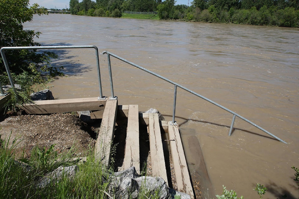
The worst overland flooding in Red Deer County in decades this spring stirred memories of more devastating mountain snow-fed floods.
However, the two are not connected, said David Watson, river forecast engineer with Alberta Environment and Parks.
“The snowpack is generally on people’s minds,” said Watson. “But it is very important to remember that there is a difference between how the plains snowpack behaves and how the mountain snowpack behaves.
“So what happened in the plains this spring isn’t indicative of what we expect out of the mountains.”
Sudden flooding last month that saw Red Deer County scramble to close all or parts of 30 roads was triggered when a sharp rise in temperatures began melting a larger-than-usual snow burden in fields and forests.
Watson said mountain elevations mean temperatures there tend to rise more gradually and melting happens over a longer period.
Much of the snowpack that feeds the Red Deer River system has melted steadily through May and is largely depleted.
“It is a little bit earlier melt than last year but kind of within the normal ranges of melt that we see from those snow pillows.”
The Red Deer River flows above the Dickson Dam are a little above normal, but well within the average range.
Current conditions do not mean Central Alberta is out of the woods yet as far as flooding potential. Prime flooding season has only just begun. The huge flood in 2005 happened on Father’s Day on June 19 and the catastrophic flooding in southern Alberta 2013 started about the same time.
Both times, the flooding was caused by heavy rainfall in the mountains.
“In 2013, even though there were rain-on-snow effects during that event, the rainfall was the driver of that snowmelt,” he said, adding the intensity and duration of the rainfall were the key factors.
“The melting snowpack should really only be put in context in terms of flood potential with upcoming precip(itation) forecasts.”
The province intends to take new measurements of the snow pillows at the beginning of June to see where they are at.
Given the potential for flooding should the rains come, Watson recommends those living in flood-prone areas download the province’s Alberta rivers app or go to https://.rivers.alberta.ca to see any advisories and also get updates on river levels and predictions of what may happen.
Watson said the province’s river forecast centre is keeping a close eye on the situation.
“We’re paying really close to attention to various weather models and we are in very close contact with Environment Canada as well as with our internal forecasts through Alberta Agriculture and Forestry.
“We do keep a very close watch on the weather at this time of year because it will be precipitation that is the primary driver (of flooding).”
pcowley@reddeeradvocate.com
Like us on Facebook and follow us on Twitter