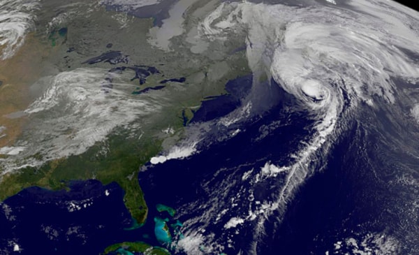
ST. JOHN’S, N.L. — Hurricane Maria is expected to bring damaging winds gusting at more than 140 kilometres per hour when the fast-moving storm makes landfall in eastern Newfoundland on Friday afternoon.
Chris Fogarty, a meteorologist at the Canadian Hurricane Centre in Halifax, said the Category 1 hurricane could come ashore between 2 p.m. and 3 p.m. local time over an area stretching from Placentia Bay to Cape Race, at the southeastern tip of the Avalon Peninsula.
A hurricane warning has been issued for the southern Avalon, where Maria could produce peak gusts hitting 140 kilometres an hour in open areas, Fogarty said.
In St. John’s, a three-hour drive north of Cape Race, residents were warned to brace for 120 km/h blasts.
“In our bulletins ... we discussed the possibility of some trees being blown down, large branches and utility lines coming down,” Fogarty told a news conference. “If the storm tracks exactly as we predict, we certainly can expect some damaging winds.”
Flags in downtown St. John’s were already snapping Friday morning as the wind bent trees and rain swept the streets.
Schools across much of southern Newfoundland were closed, and there was comparatively little traffic in downtown St. John’s.
People were also picking up emergency supplies of food and water.
Fogarty said the latest forecast was calling for less rain than originally expected. Earlier, the centre said Maria would deliver up to 90 millimetres of rain in some areas, but that figure was dropped to 50 mm.
The storm is moving so quickly — up to 90 kilometres per hour as it moved past Sable Island — that it simply won’t have enough time to dump that much rain, Fogarty said.
The hurricane centre has issued warnings about Maria for days, but forecasters said they had difficulty predicting its track and intensity because of the influence of two other low pressure systems.
The hurricane warning wasn’t issued until late Thursday.
“Earlier on, we were expecting an offshore track,” said Fogarty. “We weren’t thinking the wind threat would be too big a concern two days ago. ... Yesterday, we realized that the storm would definitely merge with the larger low.”
Still, the mayor of St. John’s, Dennis O’Keefe, said the city is ready for the worst.
“We are as prepared as we humanly can be,” he said in an interview.
Maria was expected to merge with an intense low pressure system east of Labrador, creating strong winds through the entire province that will last into Saturday.
The storm comes a year after hurricane Igor stormed into eastern Newfoundland last September as a Category 1 hurricane, with wind gusts of 140 kilometres an hour and 200 millimetres of rain. One man died and almost $200 million in damage was caused.
Nearly 200 communities suffered widespread flood and wind damage.