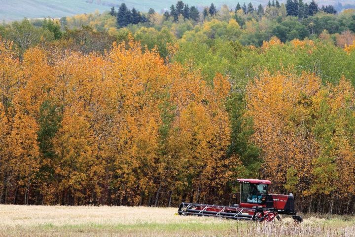
Well we made it.
On this second day of the autumnal equinox, summer 2016 is now behind us, and hopefully so are the almost daily storms that brought too much rain for anyone’s liking, and way too much of the thundering, flashy, scary stuff.
The reward — after a wet and stormy summer in Central Alberta — may be a warmer than usual fall.
Environment Canada meteorologist Kirk Torneby said Thursday that Red Deer saw the 26th wettest summer on record — so not overly notable, but wetter than normal.
“This summer the big story was wet and stormy,” Torneby said.
Precipitation at the Red Deer weather station totalled 289.4 mm in June, July and August. The 30-year average is 255.3 mm.
It could have been worse. There are some areas of the southern parts of the province that were 150 to 200 per cent above normal precipitation.
There were a lot of thunderstorm warnings in this area over the summer. In all of Alberta there were 144 hail events where warnings were issued. The average number per year is well below that, 74. The hail storm numbers are not broken down by region.
The number of days this summer with measurable precipitation in the Red Deer area — an indication of how stormy it was here — were 52 out of 92 — or 57 per cent of the time.
The rule of thumb is that when one of every three days has measurable precipitation, it’s a summer of severe weather, Torneby said.
Last year brought one of the biggest El Nino weather events, resulting in warm and dry weather over the winter.
Originally it seemed there would be a notable la Nina event, which usually follows El Nino and means colder, wetter and more snow for Western Canada.
But as fall has drawn close, it looks like those signals for a strong La Nina event have started to disappear, and it’s likely going to be a more neutral event, making what’s ahead less clear, Torneby said.
The weather pattern now seems to indicate the severe weather is over. “Things are settling down,” he said.
The seasonal model created in early September is showing some confidence for above normal temperatures for Western Canada, perhaps by one or two degrees.
It’s too early to tell what winter will bring, but Torneby said it won’t be as warm as last winter.
barr@www.reddeeradvocate.com
